1 / 1
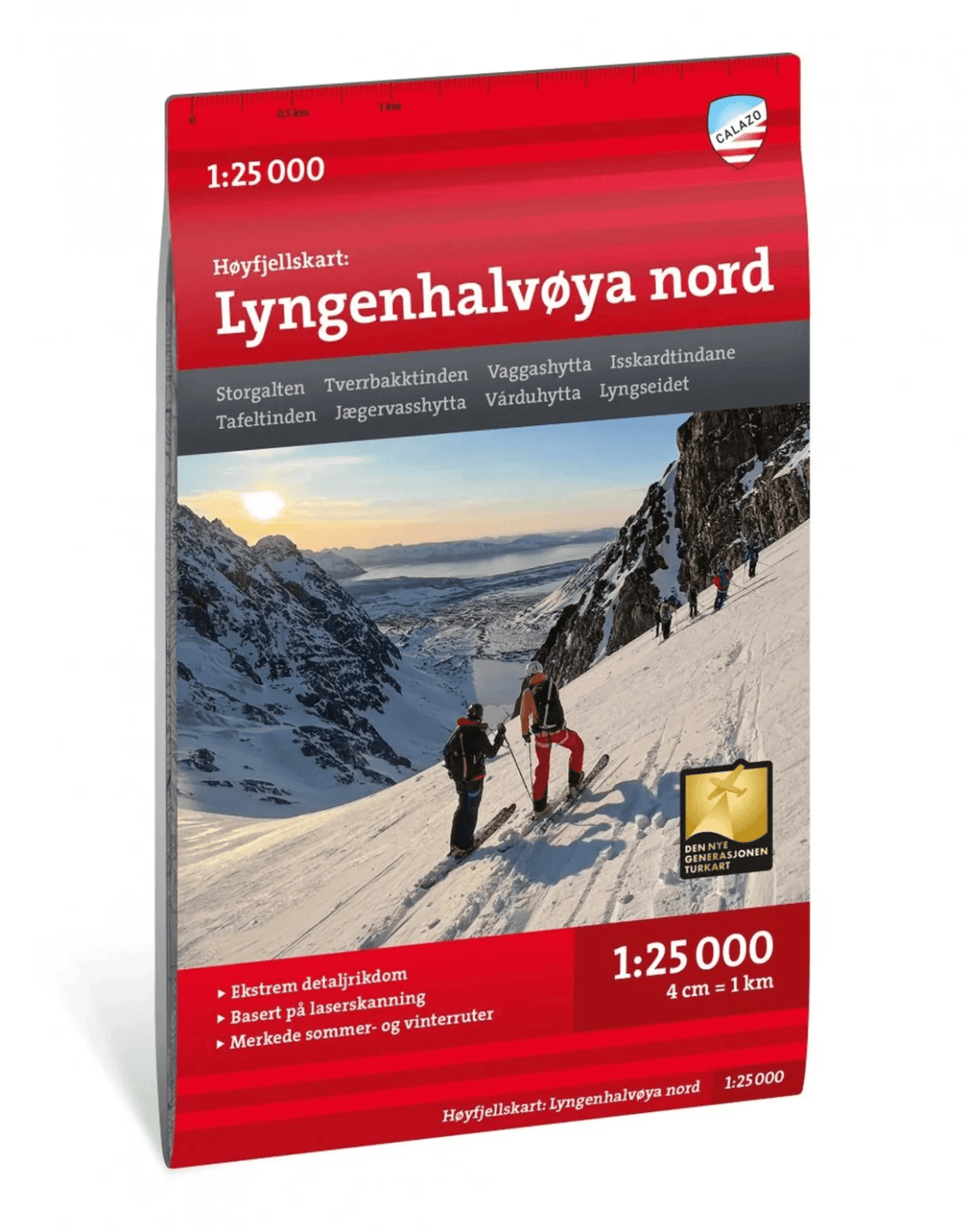
Turkart Lyngen covers the entire Lyngen Peninsula, with its high, steep mountains and a distinctly alpine character. The map features printed content on both the front and back, and covers some of Norway's most popular areas for ski touring. Here you will find classics such as the Jiehkkevárri traverse, Storgalten (1,219 m above sea level) and Tafeltinden (1,395 m above sea level).
The map is part of Calazo's modern map series, where the terrain information is based on aerial laser scanning for high accuracy of detail. This means that mountain faces, watercourses, glaciers and other natural features are shown in far greater detail than on earlier maps. The map also shows marked hiking routes, and works equally well in winter with winter routes and groomed ski trails.
The map is printed on Tyvek – a lightweight material that is waterproof, tear-resistant and holds up trip after trip.
Scale: 1:50 000 Last revised: 2024 Material: Tyvek (water-resistant and tear-resistant) Map sheet size: 70 × 100 cm Coverage: The entire Lyngen Peninsula, including summits such as Jiehkkevárri, Storgalten and Tafeltinden ISBN: 9789189371569
Highlights
- Covers the entire Lyngen Peninsula
- Scale 1:50 000, revised 2024
- Printed on water-resistant Tyvek
- Map content on front and back
- Based on aerial laser scanning
- Shows winter routes and ski trails
- Delivery: 2–6 working days throughout Norway. Free on orders over NOK 899.
- Store pickup: Free pickup at Jekta, Veita or Bedriftssenteret in Tromsø.
- Returns: 30-day right of withdrawal. Return shipping is paid by the customer.
- Complaints: See the complaints page for how to report a fault or defect in a garment.
Turkart Lyngen 1:50000
Item no. 172373Supplier item no. 9789189371569
239 kr
1
30-day returns · Secure payment · Pay with card, Vipps, Klarna, Apple Pay, Google Pay or invoice
- In stock — ships today (weekdays before 14:00)
- Free shipping on orders over NOK 899
- 30-day returns · unused = full refund
Customer reviews
Frequently bought together
Customers also bought